I asked the staff of the Fairfax County Library if they had any material related to our neighborhood. They were very responsive, passing on a plethora of information. It will take some time to go through it all.
Here’s one tidbit.
————————————————————————————————————
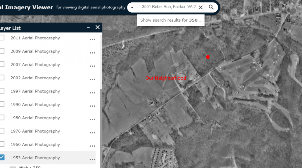
Fairfax County periodically takes aerial photos and makes them available on their web site.
Fairfax County Historical Imagery Viewer
Our neighborhood is located in grids 57-2 and 58-1.
I did a search using the address of Fairfax High, then viewed the photo from 1953. The red dot on the picture below marks the location of the school. Fairfax Circle is visible in the upper-right.
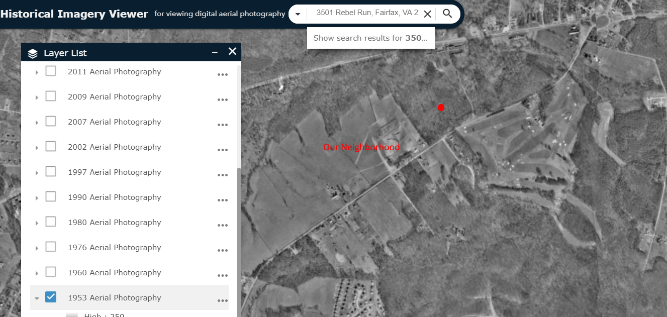
Our neighborhood was mostly open fields (part of a dairy farm, I believe).
Checking the “1960” box makes our neighborhood magically appear!
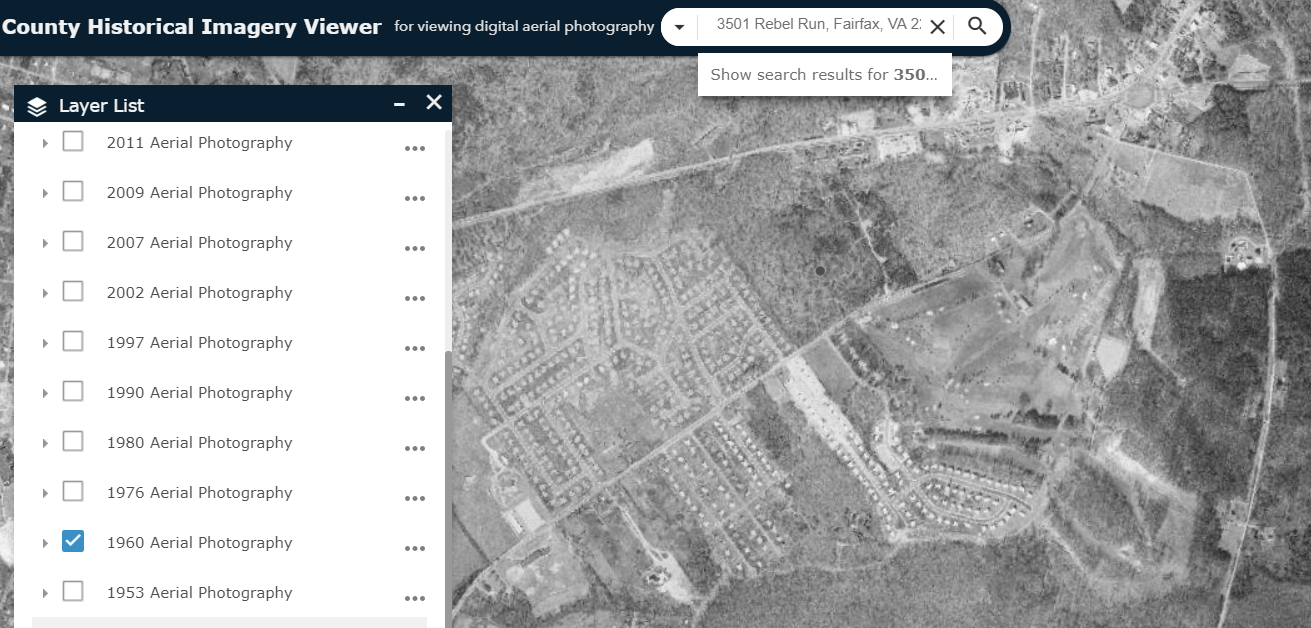
Pretty cool.
![]()
Very Cool… Sorry, very old!